By Robert C. Jones Jr., University of Miami News
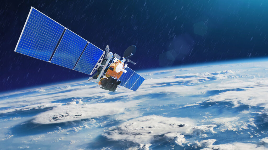
Julius Dewald’s strategy to combat some of the world’s most intractable problems starts with a bird’s-eye view more than 400 miles above the planet.
From that lofty vantage point, made possible by the power of Earth-observing satellites, the University of Miami public health scientist has mapped and predicted areas in the west African nation of Mali where malaria-carrying mosquitoes might spread, giving government officials there a head start on vector-control efforts.
But it is Dewald’s research using satellite images to fight the effects of anthropogenic climate change that holds the greatest potential, he believes.
From sub-Saharan Africa to South Florida, he has combined such images with data from geographic information systems (GIS) to determine how slash-and-burn practices in Zambia have affected the landscape and environment inside and outside of that country’s South Luangwa National Park, and to study how tree-planting efforts in Miami-Dade County in Florida have impacted the density of vegetation — or greenness — in its neighborhoods.
“It’s changed the way we study the Earth,” said Dewald, an assistant scientist in the Miller School of Medicine’s Department of Public Health Sciences. “With satellite imagery augmented with GIS, we now have an extensive library of data that can be continuously updated, easily accessed, and used with ease. And it allows us to see fine-scale changes in landscape, in vegetation and in many other things across the Earth’s surface.
“Without that data,” Dewald continued, “we’d have to go out into the field and collect information such as tree canopy measurements periodically and create an entire program that continues to sample and monitor those conditions. And even then, such a method would never approach the amount of spatial resolution we would get from satellite imagery. It provides us with a whole wealth of knowledge that otherwise would be extremely difficult or possibly impossible to obtain.”
During his research on the impact of slash-and-burn agriculture in Zambia, he lived for four months in that southern African nation, interviewing chiefs, residents and other stakeholders about how the farming method, in which forests are burned and cleared for planting, is affecting the land and environment.
He augmented those interviews with satellite imagery and GIS data, finding that the population growth and the accompanying agricultural practices decreased tree cover in certain areas around the national park.
“I looked at communities where electricity is still not pervasive and where residents use wood from trees to heat their homes and to cook,” explained Dewald, who conducted that research while earning his Ph.D. as a fellow in the University’s Leonard and Jayne Abess Center for Ecosystem Science and Policy. “If those communities want to regenerate some of the forest lands lost to slash-and-burn, they may have to in the future alter some of the fire regimens to allow more regrowth.”
For his most recent research in which he studied the effectiveness of Miami-Dade’s efforts to increase tree canopy over a 13-year period, he and a team of public health scientists examined satellite imagery of vegetation in more than 34,000 census blocks — areas bounded by visible features such as roads and railroad tracks and by nonvisible boundaries like property lines and school districts. They excluded the Everglades and agricultural areas, instead focusing on vegetation within the county’s urban and suburban zones where most people live.
Among their findings, they discovered that Miami-Dade’s vegetation exhibited significant increases in greenness during winter, summer and fall, with winter having the highest proportion of census blocks with notable changes (61.47%), over 99% of which were in the positive direction.
Dewald served as the lead investigator on that project. He collaborated with José Szapocznik, professor and chair emeritus of public health sciences; Scott Brown, research associate professor of public health sciences; and Joanna Lombard, a professor in the School of Architecture. Their study is published in a recent issue of the journal Remote Sensing.
That team agreed that tree-planting initiatives like Miami-Dade’s Million Trees Miami project are essential, as trees have been linked to a wide variety of health benefits such as strengthening immune systems and encouraging active living.
The Department of Public Health Sciences’ own research on the benefits of greenness support the growing body of evidence that trees boost health. For example, some of the department’s prior research discovered that Medicare beneficiaries living in census blocks with higher greenness rates experienced significant reductions in various chronic disease rates, including a 14% reduction in diabetes, a 13% decline in hypertension and an 18% decrease in Alzheimer’s disease.
Dewald said satellite imagery and GIS, which creates, manages, analyzes and maps all types of data, are “powerful and burgeoning” tools in the field of public health sciences, especially in studying greenness and how it helps communities mitigate the effects of urban heat islands.
“We can approach multiple problems at once,” he said. “We can improve people’s health and help protect the environment and make sure that vulnerable tree species and the animals and plants that depend on them survive.”
This piece was originally published at https://news.miami.edu/stories/2024/02/satellites-power-research-on-earths-challenges.html.
Sign up for The Invading Sea newsletter by visiting here. If you are interested in submitting an opinion piece to The Invading Sea, email Editor Nathan Crabbe at ncrabbe@fau.edu.