By Jerry Lower, the Coastal Star
If you live in Florida, or any other state near the coast, and you want to get a snapshot of the impact of climate change on our coastal communities, you don’t need a time machine or a fortune teller.
All you need is a tide chart, a camera and a pair of rubber boots.
The water level along the Florida coast is constantly changing. The state has vast beachfront and hundreds of miles of Intracoastal Waterway and numerous bays and tidal flats. Tide charts will allow you to predict within minutes when the peak flooding can occur in any coastal neighborhood.
Those tides rise and fall twice each day. In our South Florida neighborhood, the difference between high and low is very reliable. It’s 3 feet most of the year.

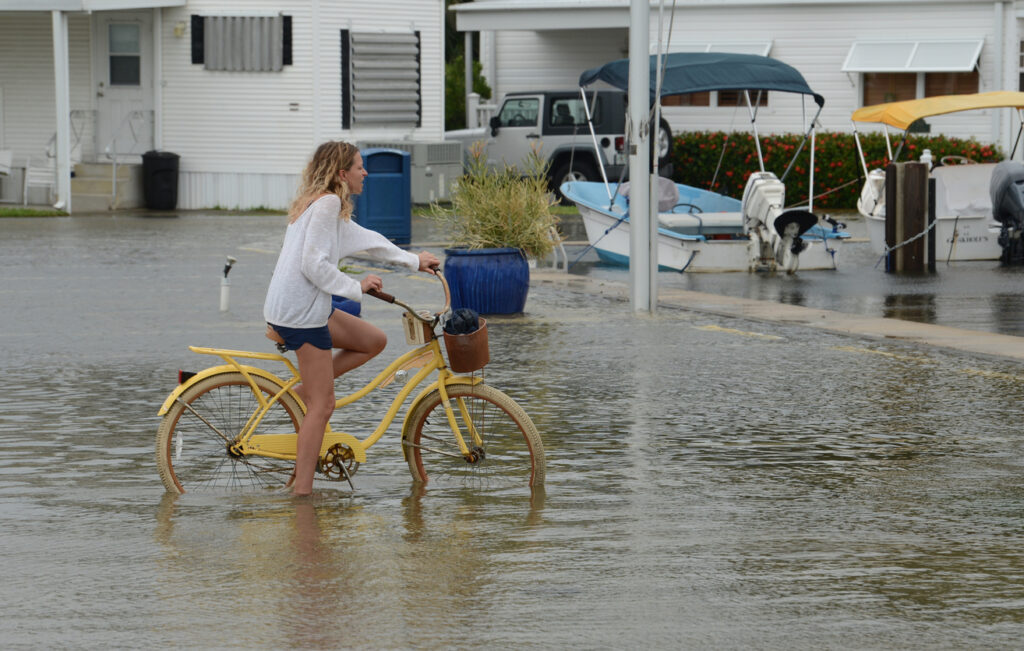
But in autumn, the combination of moon phases and the frequent impact of tropical weather can make them rise extra high. These are often referred to as king tides. Last week offered a combination of the new moon phase and an extra high surf caused by a distant tropical system
The flooding we saw didn’t come directly from the ocean, but the high surf and wind prevented water from flowing out the inlets at its normal pace and allowed the water to build up in the Intracoastal Waterway.
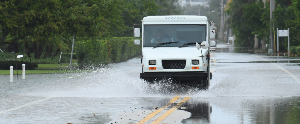
I shot these photos on Sept. 21 on a breezy and bright sunny day and I didn’t have to try very hard to get these images. They show the problems we will be facing with greater frequency.
It’s not that some contractor built the seawalls too low, or didn’t use enough pavement material when they resurfaced State Road A1A, or failed to put in enough drains along the road to handle a little rain on a hurricane evacuation route.
At the time they were designed and built, they met the needs of the community. The problem is that climate change is real and coming much more quickly than we expected.
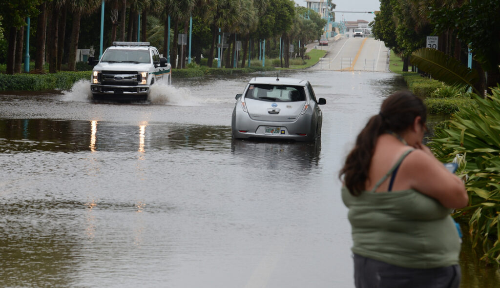
This latest flooding was as high as any I have seen in 30 years living in the same neighborhood — except for when Hurricane Irene dumped 18 inches of rain in one day back in 2011.
And that takes me to the rubber boots. I made the mistake of photographing Irene’s aftermath in my tennis shoes and was sick for days afterward.
Even though the water that rises into the streets and yards may appear clear, it’s not safe to walk in. Not only does it carry oils and dirt from the roads, it also carries pesticides and fertilizers that residents spray on their lawns.
Think of all the roads, yards and farms in the state draining through the canals that feed into the Intracoastal. Add to that many of the coastal communities that have septic tanks with drain fields that could flood during these king tides.
The next high tides that I plan to photograph will be Oct. 16-19 when the impact of the new moon will help create a high tide/low tide range of at least 4 feet.
I’ll be the guy with the camera and the nearly knee high boots.
Jerry Lower is the publisher of The Coastal Star newspaper based in Ocean Ridge (Palm Beach County) Fla. He has been a working photojournalist for more than 40 years.
“The Invading Sea” is the opinion arm of the Florida Climate Reporting Network, a collaborative of news organizations across the state focusing on the threats posed by the warming climate.